A NEW PERSPECTIVE, BY INVESTRAEvery property.
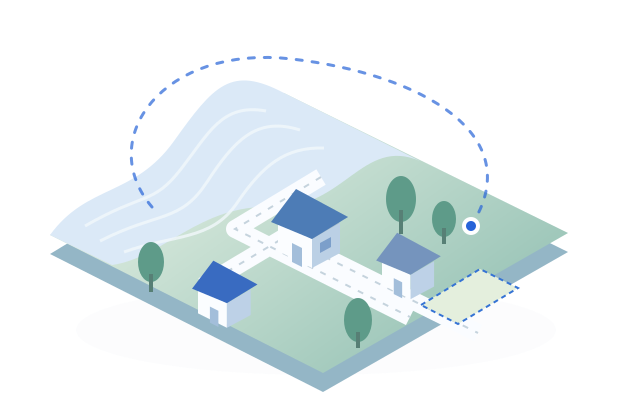

Every property.
A little more possibility.
Fly over homes and land. Follow the terrain. Get to know the neighborhood.
3D flightTerrainStreet View
1 Your companion2 Your place
Meet your flying companion
Choose a mascot, then pick a color.
Preparing your companions…
Where would you like to explore?
A home, a plot of land, or a neighborhood. Enter an address or coordinates.
Choose a suggestion, or press Search for matching places.
No account needed. Your companion stays on this device.
STARTING POINT
Berkeley Hills
Google MapsTERRAIN INSIGHTS
The lay of the land
Selected point elevationSelect a pointAbove sea level · approximate
Choose two points on the map to see the ground rise and fall between them.
For exploration, not a land survey. Map features do not establish legal property boundaries.
Draw your area
Tap at least three corners on the map.
Your drawn area, not a surveyed boundary.Preparing your view…
Hold the steering controls, or use WASD / arrow keys. Q and E adjust height.